
Your streets.
A little more
wonder.
Find an animal-shaped running or walking route.
Let your footsteps bring them to life.
Pawcasso turns a run or walk through real streets into a drawing — and a little someone to get to know.
 …a little someone.
A little screen magic.
Map © OpenStreetMap contributors
 Psst… I’m Poppy.
Fancy a little wander.
Follow the line.
Draw a little friend.
Pick an animal, a place, and how far you’d like to go. Pawcasso searches the streets for a route that draws them.
Then it’s over to your feet. Run or walk the line and make a memory you can keep.

Pick a little someone.
An animal, a place, a distance. A little wish to start with.
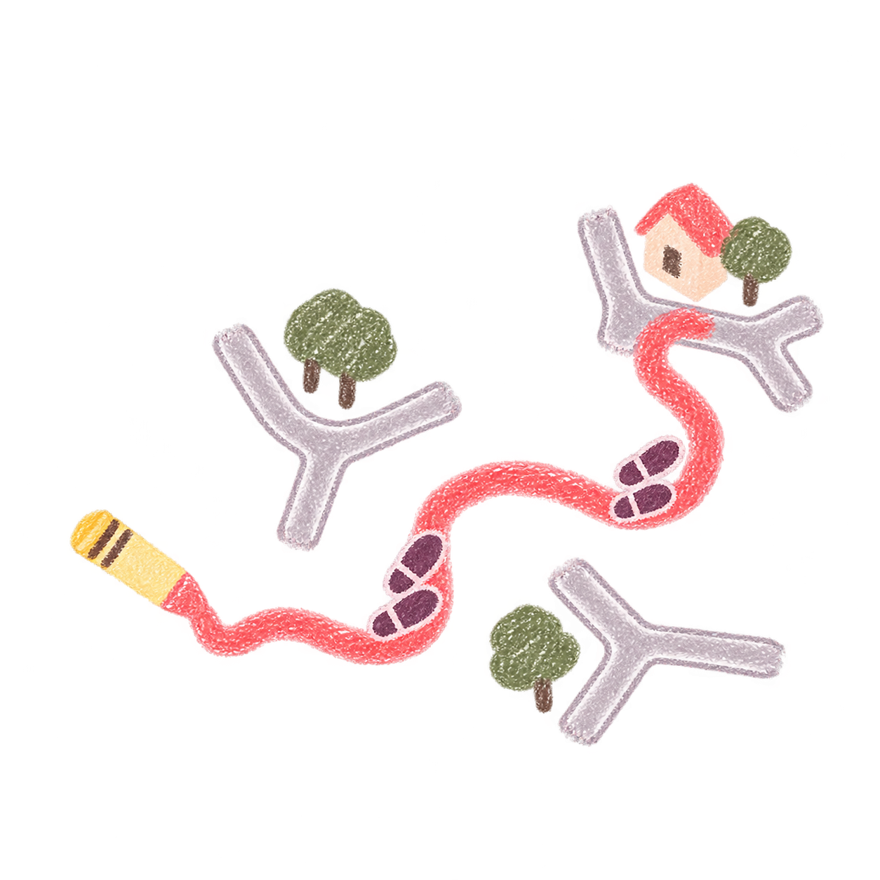
Follow the little line.
Pawcasso looks for the shape in the streets. You walk or run the way.

Meet your drawing.
Your footsteps make the picture. A little someone, with a story of your own.
Illustrated streets, just to show the idea.
Scroll to explore the routes. When a card is focused, use the left and right arrow keys, Home or End.
Try your first animal somewhere with a dense street network, like London. A little look at our wonky lines.
Inside Pawcasso.
From a little “what if?” to a wander worth keeping.
Hello, little adventurer.
A whole drawing to dream about, and more little friends hot off the pencil.
App previews use example routes.
Get the launch link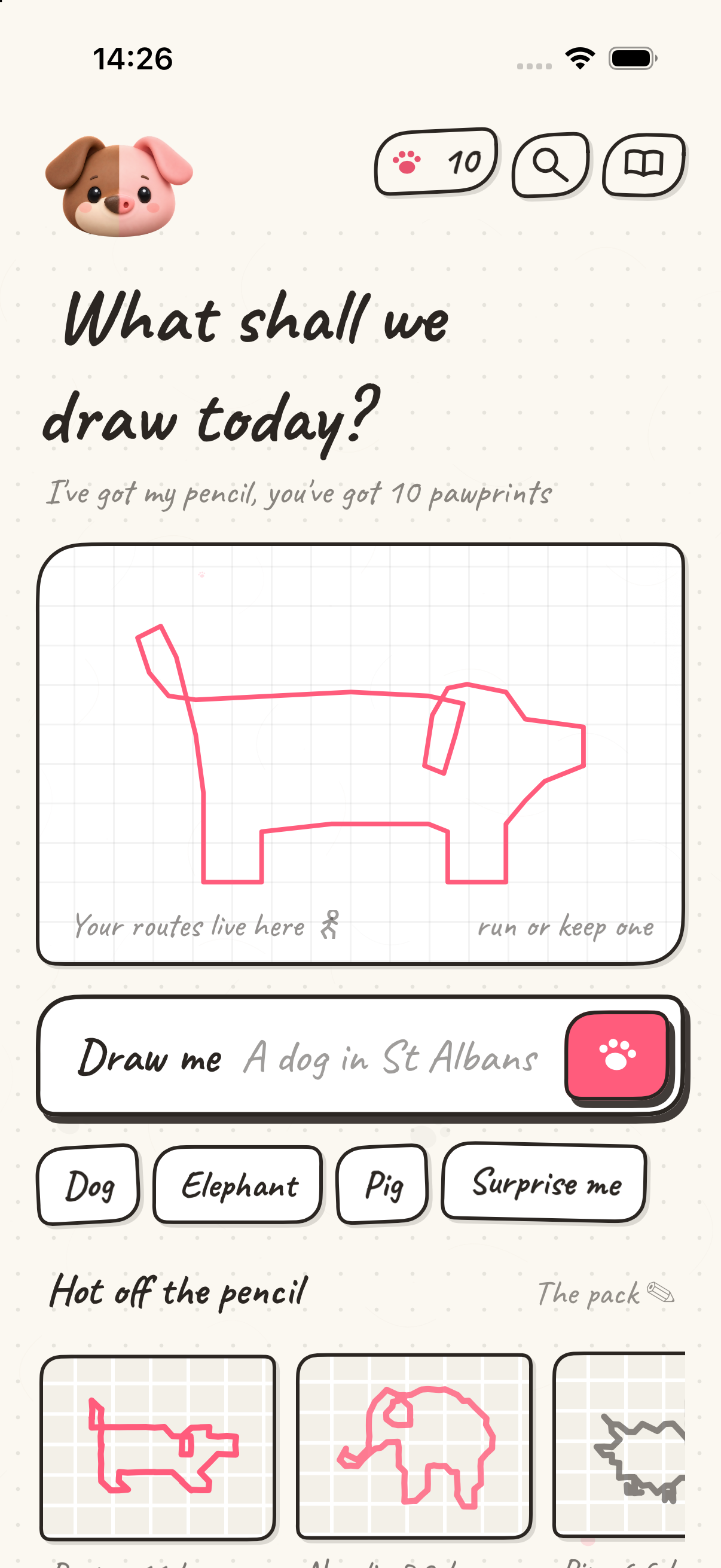
Your footsteps.
Their little world.
Every animal has a name. Every line has a memory. Imagine seeing your adventures light up a sanctuary of their own.

Mabel
Always stops to investigate an interesting leaf. Will absolutely call it a grand adventure.
Their own little story.
You’re exploring an imagined sanctuary inspired by selected London route plans. These selected drawing previews have no street-map detail or navigation. Your own saved routes and animals stay in the app; member access on the web is a later chapter.
Still finding our feet.
Some days, a little pig. Some days… a little Picasso.

Good question.
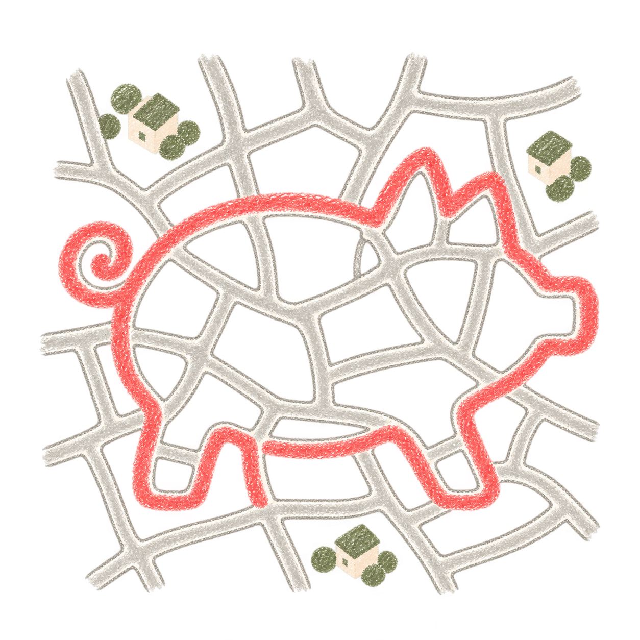
More streets.
More chances.Try a dense street network, like London.
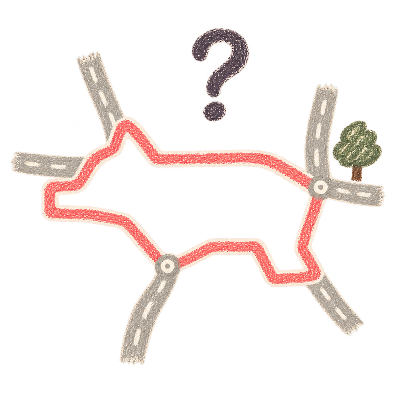
Sometimes, a
little Picasso.Short outings or fewer streets can mean a wonky line—or no route.
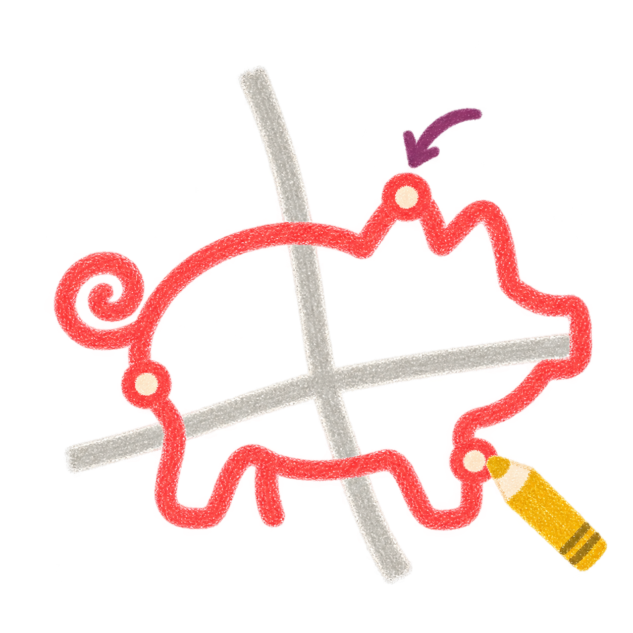


A little more about our drawings
Shorter outings and places with fewer streets can be hit and miss: a wonky animal, a line you can’t recognise, or no route at all. A dense street network gives us more choices, though it isn’t a promise of a perfect pig.
If you can’t see the animal, tell us. A correction in the app’s route editor can help us see what needs work. Sending your edit is always your choice.
A little hello before we go.
Be here for the first little wander.
Pawcasso is getting ready to meet the world. Leave your email and we’ll send you the download link when the app is ready.
A little look at what to expect.
Fancy helping? Raise a paw to try an early version. We’d love your feedback—and we’d be very grateful.
There’s room for
one more curious heart.
Every little line has
someone inside it.
A little more
to know.
What is GPS art?
GPS art turns a walk or run into a drawing on a map. A route planner helps you choose the line before you go. Pawcasso searches real streets for animal-shaped running and walking routes—a little someone to get to know. Follow the line at your own pace; the streets, turns and paths make the shape.
Can I walk instead of run?
Absolutely. Follow the line at your own pace—a little wander counts too.
Can I cycle a route?
Our searches follow walking paths, which may include steps, footpaths or places where cycling isn’t allowed. Check the whole route and cycling access first. Ride only where it’s legal and safe for your bike, and stop somewhere safe to look at directions.
Where can I find an animal-shaped running route?
Try a place with a dense street network, such as London. More streets give Pawcasso a better chance of finding a recognisable animal. Shorter distances and places with fewer streets are more hit and miss: the drawing may be wonky, or we may find no route.
Can I draw one animal in several outings?
We’re planning a way to complete the same animal across several outings, keeping the sections you’ve already drawn lit up. It isn’t available yet; we’ll share more when it’s ready.
What should I know before following a route?
Navigation helps you follow your chosen animal route. Check the full line before you go, and use Street View to look for pavements and crossings.
Maps can miss pedestrian access, private-road restrictions and roadworks. Photos can be old or unavailable, so neither confirms a section is open or safe today. Follow signs and barriers; stop or choose a safe alternative when needed. It’s okay to leave a drawing unfinished.
We’re sorry when a map gap interrupts your wander. Our map-help guide shows how to check and report details.
How can I help Pawcasso improve?
Join the interest list and choose the optional TestFlight invitation. Tell us when you can’t recognise the animal. In the app, use “not quite” on a planned route to suggest changes with the route editor; keep the edit for yourself or choose to send it to us.